Point-in-polygon query with Mapbox Boundaries
Familiarity with front-end development and access to Mapbox Boundaries.
Access to the Mapbox Boundaries tilesets is controlled by Mapbox account access token. If you do not have access on your account, contact Mapbox sales to request access to Boundaries tilesets.
Mapbox users who have access to Mapbox Boundaries can add global administrative, postal, and statistical boundaries to their maps and data visualizations. This guide covers how to use Mapbox Boundaries with the Mapbox Tilequery API to query points in polygons.
Getting started
Access to the Mapbox Boundaries tilesets is controlled by your Mapbox account access token. To request access to Mapbox Boundaries, contact Mapbox sales.
About the Tilequery API
The Mapbox Tilequery API allows you to get data from a tileset without necessarily rendering a map. You can use the Tilequery API to match points to polygons, in other words, you can provide the coordinates for a point and determine which (if any) polygons in a specified tileset exist at that point.
Here's what a Tilequery API request using a Boundaries tileset would look like:
https://api.mapbox.com/v4/mapbox.enterprise-boundaries-a0-v2/tilequery/{longitude,latitude}.json?access_token= <UserAccessToken />
Be sure to use an access token from an account that has access to Mapbox Boundaries.
If the specified point is within a polygon, the Tilequery API response will include a GeoJSON-format body with all features in the tileset. The id property value of the first feature returned is the ID of the Boundaries feature that contains the queried point.
Since the feature lookup table contains all Mapbox Boundaries parent features, only one API request is required per point to find all matching parent boundaries. For example, you can query the admin-2 boundary of a point in Italy, and use the lookup table to find the parent features at admin-1 and admin-0.
Query Mapbox Boundaries
Below is an example API response from a sample query to admin-2 in Italy. The query URL is:
https://api.mapbox.com/v4/mapbox.enterprise-boundaries-a2-v2/tilequery/12.87,43.100.json?access_token= <UserAccessToken />
Be sure to use an access token from an account that has access to Mapbox Boundaries.
The id returned is the identifier of the Boundaries feature containing the point at admin-2.
{
  "type": "FeatureCollection",
  "features": [
    {
      "type": "Feature",
      "geometry": {
        "type": "Point",
        "coordinates": [12.87, 43.1]
      },
      "properties": {
        "id": "ITA2054",
        "worldview": "all",
        "tilequery": {
          "distance": 0,
          "geometry": "polygon",
          "layer": "boundaries_admin_2"
        }
      }
    }
  ]
}
Query multiple tilesets
You can query multiple admin levels in one API call using tile compositing. The query below will return the ids at a location for admin-1, admin-2, and admin-3:
https://api.mapbox.com/v4/mapbox.enterprise-boundaries-a3-v2,mapbox.enterprise-boundaries-a2-v2,mapbox.enterprise-boundaries-a1-v2/tilequery/12.87,43.100.json?access_token= <UserAccessToken />
Find the complete list of Boundaries tilesets in the reference documentation.
This technique allows for aggregating and visualizing points at any admin level or multiple admin levels, down to individual points, as an API service.
Next steps
Learn more about the Tilequery API
Build an application that determines which timezone you are in using the Mapbox Tilequery API and the native HTML geolocation API with our Create a timezone finder tutorial.
Learn more about Mapbox Boundaries
Learn more about how you can use Mapbox Boundaries.
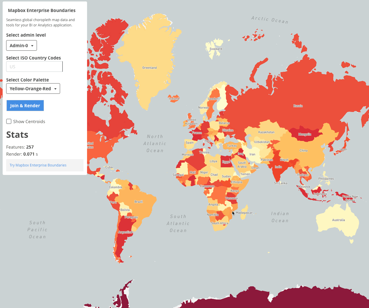
- Data-joins with Mapbox Boundaries: The data-join technique involves inner joins between local data, such as the unemployment rate by US state, to vector tile features, such as admin boundaries in Mapbox Boundaries, using data-driven style notation.
Advanced use cases
You can also explore this end to end example, which uses the concepts outlined in both this point-in-polygon query tutorial and the data-join tutorial to create an application featuring an interactive choropleth map.